How Virtual Air Tours Are Transforming Online Geography Lessons
Recent Trends in Virtual Geography Instruction
Over the past few years, online geography programs have increasingly incorporated immersive flight simulations that allow students to “fly” over terrain in real time. Instead of relying solely on static maps or recorded videos, educators now use live-streamed or pre-recorded virtual tours that combine satellite imagery, drone footage, and 3D terrain rendering. These tools are being adopted by both K–12 and higher-education institutions as a response to remote learning demands and a desire for more engaging spatial exploration.
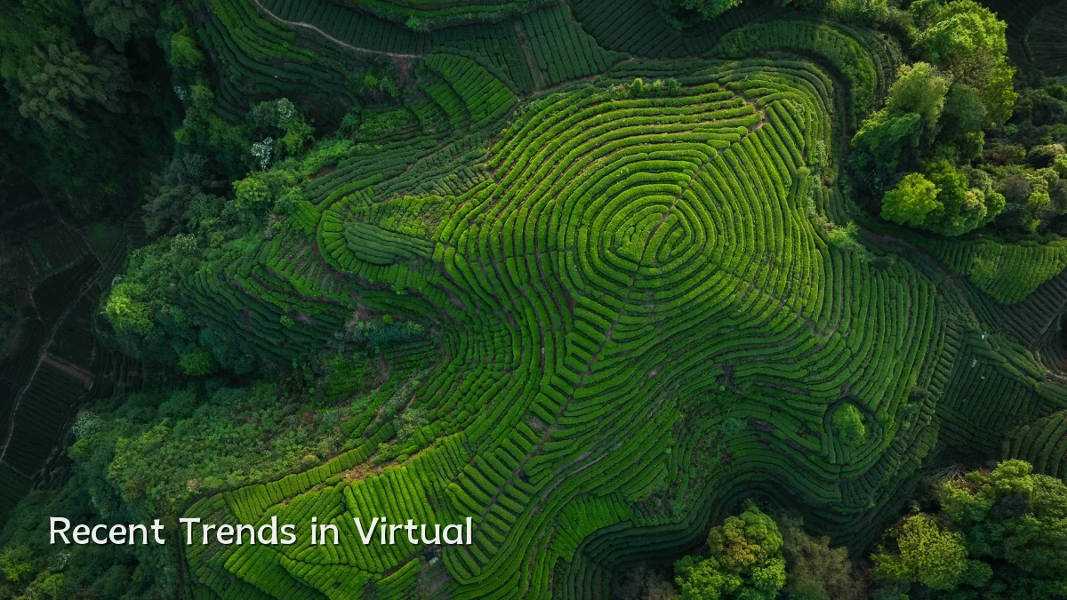
Key patterns observed:
- Rise of cloud‑based platforms that stream high‑resolution geographic data without requiring expensive hardware
- Integration of virtual tours into standard LMS (learning management system) modules, enabling self‑paced navigation
- Partnerships between geography departments and geospatial technology companies to offer curated flight paths over biomes, cities, and historical landmarks
Background — From Static Maps to Immersive Flight
Traditional online geography relied on textbook diagrams, recorded lectures, and 2D map exercises. Early attempts at virtual field trips used 360‑degree photos or simple Google Earth fly‑overs. Today’s virtual air tours, however, allow a student to control altitude, speed, and viewing angle — often with real‑time weather data overlay. This shift emerged from advances in game engine rendering and open geospatial data, making realistic flight simulation accessible via a standard web browser or smartphone.

Notable differences from earlier methods:
- Real‑time camera control vs. pre‑recorded linear video
- Ability to zoom to street‑level or switch to cross‑section views of topography
- Multi‑user guided tours where an instructor can lead a group to the same coordinates simultaneously
User Concerns — Access, Cost, and Engagement
Despite growing interest, educators and students face several practical challenges. Internet bandwidth remains a primary barrier; high‑detail streams may require consistent speeds of 10–25 Mbps, which not all learners have. Subscription costs for advanced platforms can range from modest per‑student fees to institution‑wide licenses that stretch department budgets. There is also concern about screen fatigue — extended virtual flights may overwhelm some learners, especially younger students who need breaks and guided reflection.
Common user concerns include:
- Equity of access for students with limited devices or data caps
- Learning curve for teachers unfamiliar with flight controls or lesson scripting
- Balancing immersive exploration with structured learning objectives (avoiding “just entertainment”)
Likely Impact on Learning Outcomes
Preliminary reports from pilot programs suggest that virtual air tours boost spatial reasoning and retention when compared with static map exercises. Students who “fly” over a river delta or mountain range often demonstrate better recall of landform names, elevation relationships, and human‑environment interactions. However, impact varies by age group and lesson design. Effective implementation typically includes pre‑tour orientation, in‑flight prompts, and a post‑tour assessment — not simply free flight time.
Expected effects in the near term:
- Improved ability to interpret contour lines and topographic profiles through visual experience
- Greater student motivation and curiosity in geography electives
- More frequent cross‑disciplinary use (e.g., combining climate data with flight paths in environmental science)
What to Watch Next — Technical and Pedagogical Developments
Over the next one to two years, several trends may further reshape how virtual air tours are used in formal education. Lower‑cost satellite data and improved compression algorithms could reduce bandwidth requirements. Meanwhile, researchers are testing adaptive flight routes that adjust difficulty based on student performance. Educators should monitor updates to integration standards (such as LTI 1.3) that allow seamless embedding into existing course platforms.
Areas to observe:
- Adoption of augmented‑reality overlays that label geographic features in real time during flight
- Development of instructor dashboards showing student gaze patterns and engagement metrics
- Expansion of free or low‑cost open‑source alternatives to commercial tour platforms
- Pilot studies comparing virtual air tours with on‑site field trips for learning retention